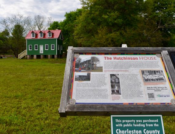
Hutchinson House
|
GPS Coordinates: N32-34.167 W80-15.398
Description: The Hutchinson House, constructed in 1885 by Henry Hutchinson, is one of the oldest surviving houses built by African Americans during the Reconstruction Era on Edisto Island. In 1987 it was placed on the National Register of Historic Places, and was recently restored by the Edisto Island Open Land Trust. Turn off Scenic Byway onto Point of Pines Road (just North of Store Creek Bridge) and proceed 1.5 miles. Left into driveway just past Clark Road. |